About
Made by MarineConnect for the people who fish offshore
MarineConnect has built digital systems for vessels since 2019: onboard connectivity, monitoring and voyage planning. FishMap brings that work to the fishing deck.
Why we built FishMap
Good captains already read the sea: the colour of the water, the drift of the boat, the birds working a patch of bait. The ocean data behind those signs exists, but it was scattered across websites and hard to read on a boat.
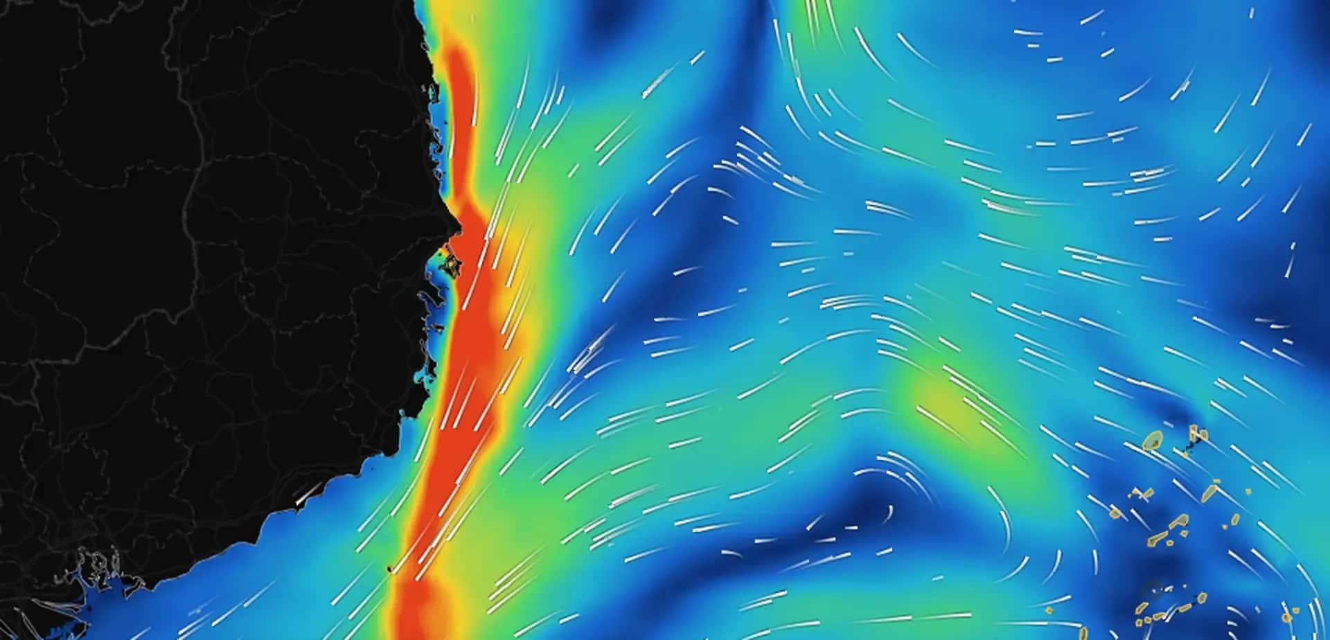
FishMap puts it on one chart: currents, waves, temperature, fronts, chlorophyll, salinity and depth, with a daily habitat score for the species you target. It runs on the computer in the wheelhouse, keeps working when the signal drops, and speaks English, Vietnamese and Thai.
What it is, and what it is not
FishMap helps you plan: where to look, when to go, what the water is likely to do in the next days. It is not an official chart and it does not replace your navigation equipment, official weather bulletins or the judgement of the master. We say this in the app, in the guides and in the AI Captain’s answers, because safety at sea comes first.
How we work
Four things we hold to
Safety first
FishMap is a planning aid. Forecasts and scores have errors, so we show the data behind them and remind you to check official bulletins.
In your language
The app, the guide and the AI Captain work in English, Vietnamese and Thai, with plain words instead of jargon.
Your data stays yours
Your spot book and AIS history stay on your computer. We do not sell personal data. See our privacy notice.
Built for sea conditions
Weak or no signal is normal offshore. The base map is built in and trip downloads keep the data with you.
Questions for the team?
Plans for a fleet, help with the app or feedback from your last trip: we read every message.