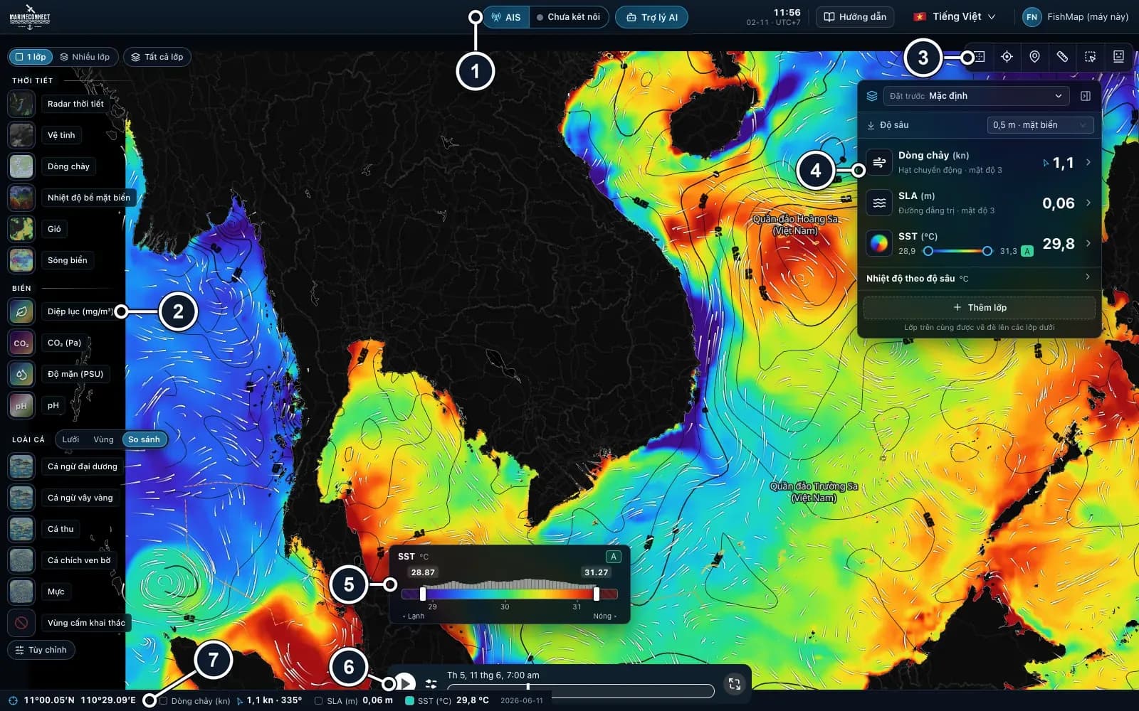
 Guides · Getting started
· 3 min read
Getting started with FishMap
Download the desktop app, sign in and your 30-day free trial starts. Then take a first look at the screen and plan your first trip.
New: wave height, direction and period, with 7-day forecasts.
About the new wave layerLanguage
Guides
Short, practical guides: install the app, read each layer, find your species and plan a trip.
Guides · Getting started· 3 min read
Download the desktop app, sign in and your 30-day free trial starts. Then take a first look at the screen and plan your first trip.
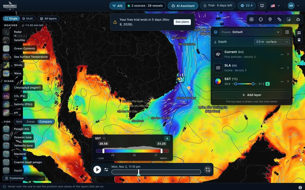 Guides · Getting started
· 2 min read
Drag the app into Applications, clear the macOS block with one Terminal command if needed, and answer the Keychain prompt once.
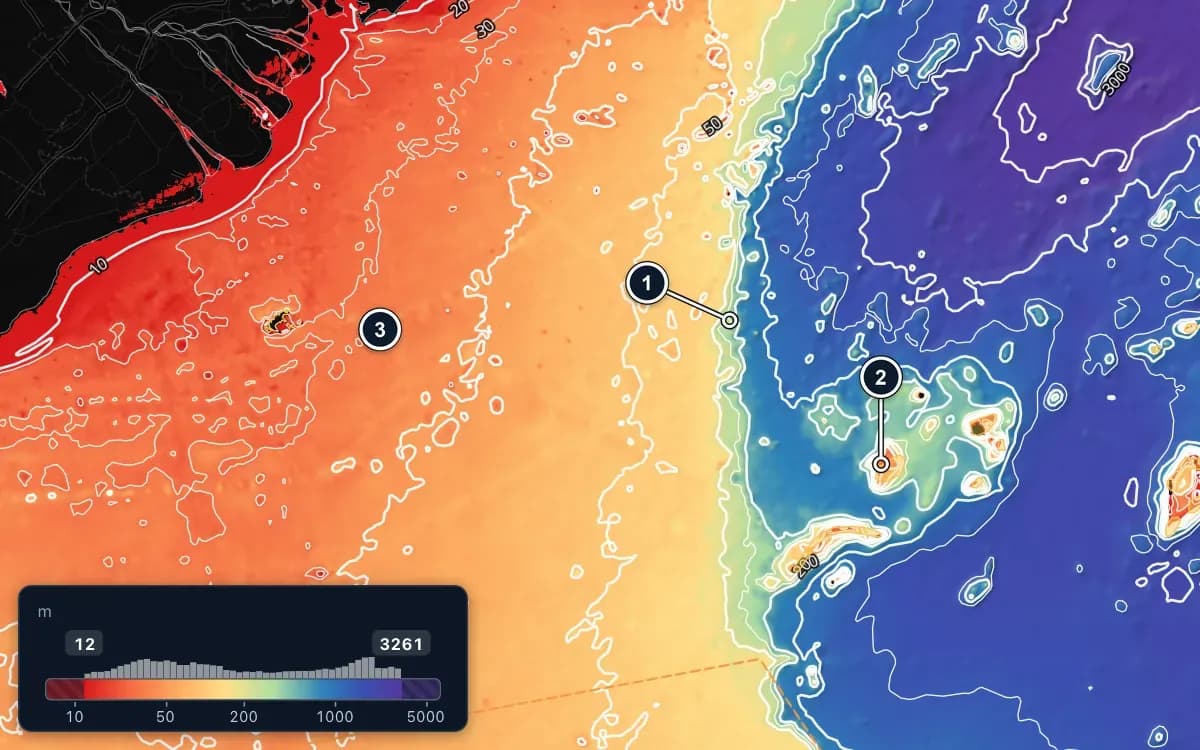 Guides · Getting started
· 2 min read
Save FishMap's sea data on your computer while you still have signal, so the map keeps working when the connection drops offshore.
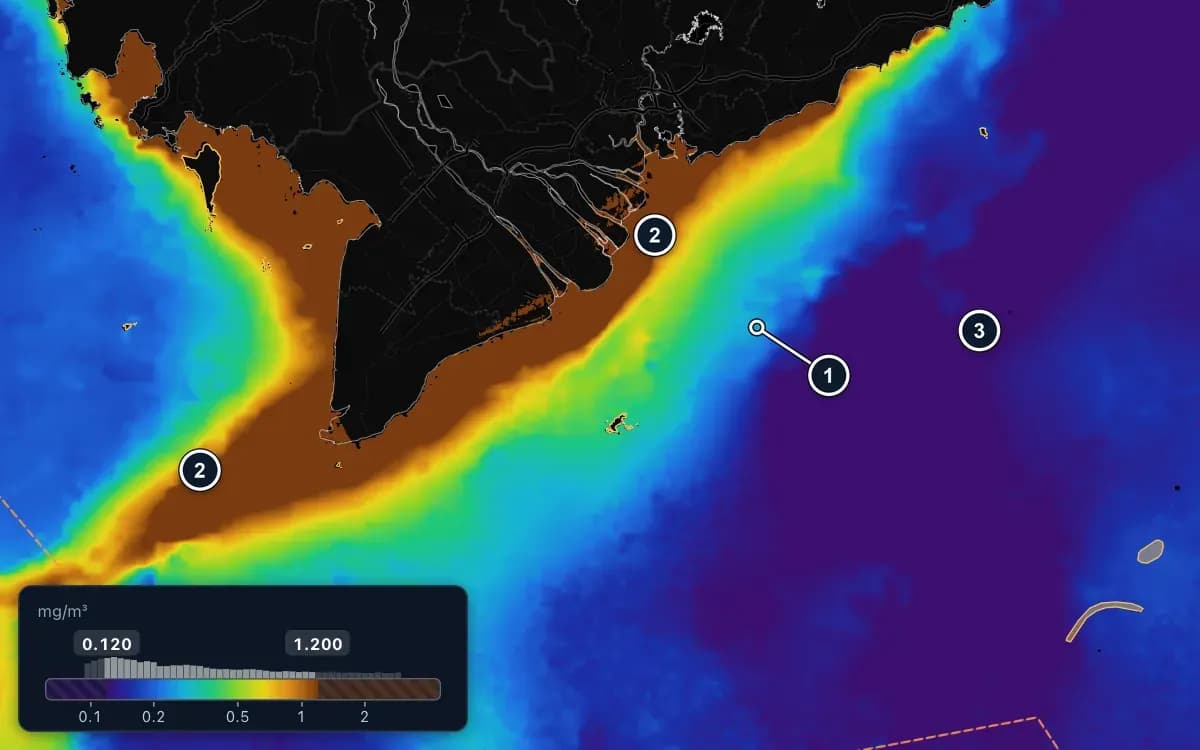 Guides · Ocean layers
· 2 min read
Chlorophyll shows how much food is in the water, and salinity shows where river water spreads out to sea. The edges of both are where to look.
 Guides · Ocean layers
· 2 min read
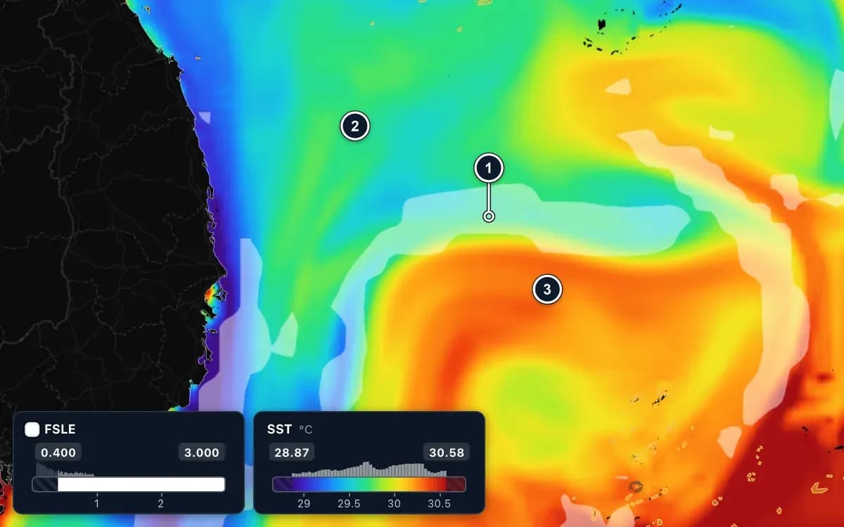
Read sea surface temperature, look below the surface with temperature at depth, and find fronts where warm water meets cooler water.
 Guides · Ocean layers
· 3 min read
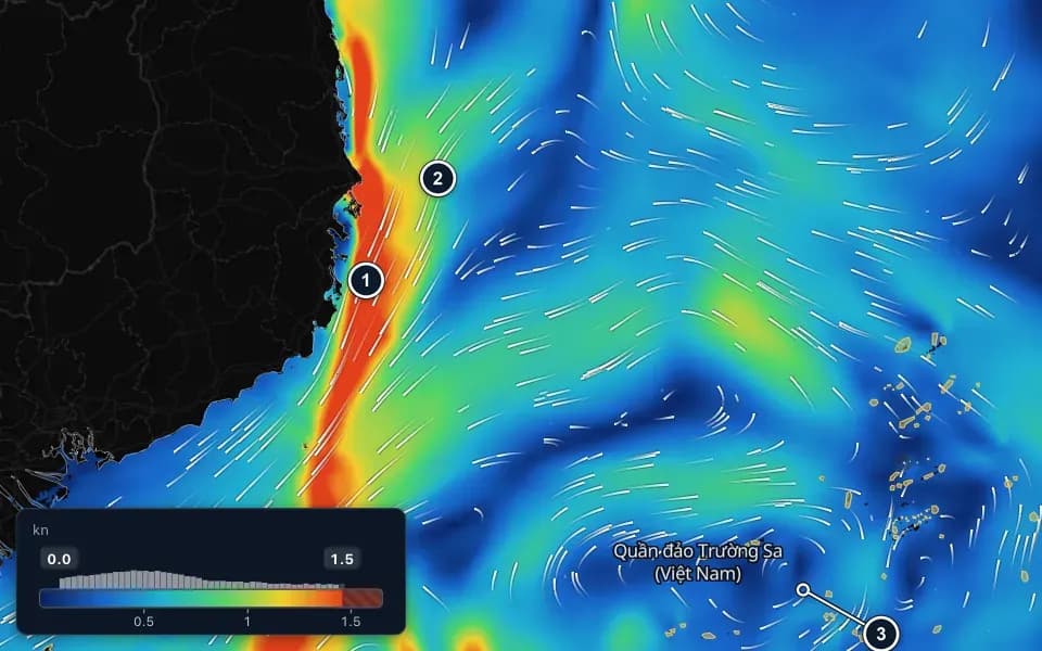
How to read current speed and the drifting particles, why meeting zones matter, and how the sea level anomaly layer shows warm and cold eddies.
 Guides · Fish habitat
· 3 min read
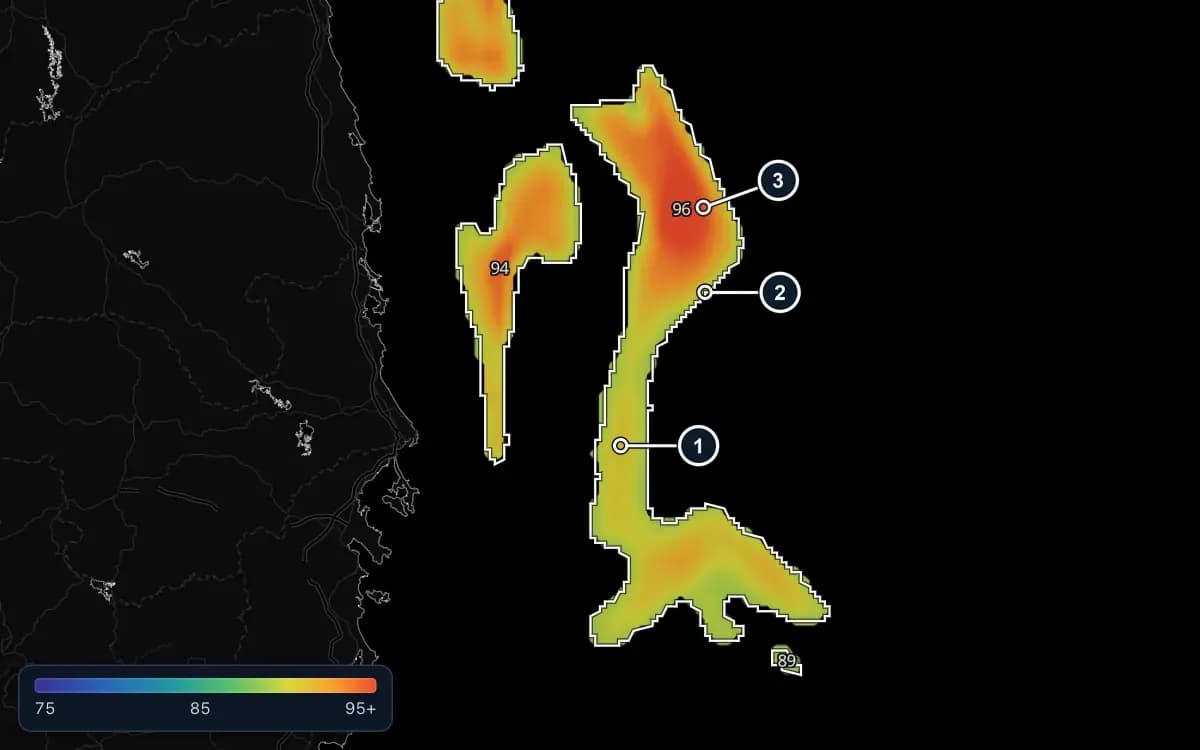
How FishMap scores the sea for nine species, how to read the Grid, Zones and Compare views, and why you should always cross-check weather and the rules.
 Guides · AI Captain
· 3 min read
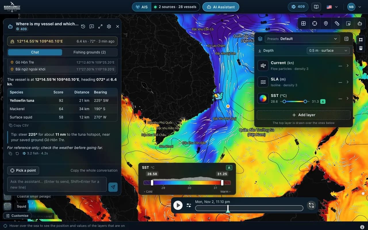
How to ask good questions, what an answer costs in fish, how to ask about one exact point, and how to save your fishing grounds.