News · Product updates
New wave layer and 7-day ocean forecasts
A new Waves layer shows wave height, direction and period on every plan, and currents, temperature, salinity, sea surface height and waves now look 7 days ahead.
· 2 min read · By FishMap team
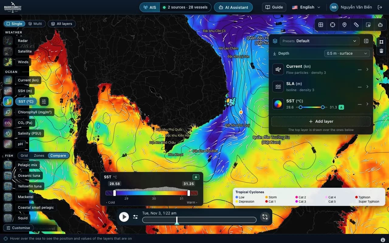
Two additions in FishMap 0.4 help you choose the day to go out and the way home: a new Waves layer, and 7-day forecasts for the main ocean layers.
The Waves layer
Waves in the Ocean panel shows the day's highest significant wave height: the average height of the highest third of the waves, close to what people at sea feel. Single waves can be almost twice as high.
- Darker colours, bigger numbers: a rougher sea. From about 2 m, small boats should take care; 4 m and above is very rough.
- Hover over the sea to read the height, the direction the waves come from and their period in seconds. A long period, over 10 seconds, is swell from far away, which is stronger than wind waves of the same height.
- Drag the timeline to the coming days to find a calm day.
Waves are not used in the fish habitat scores. Use them to pick the day to go out, safe areas to set your gear and your way home when the sea gets up. Show the layer as colour, or as lines over water temperature.
The Waves layer is included in every plan, starting with Offshore. The Fishing Ground plan also has an hourly wave forecast among its live weather layers.
7-day forecasts
Currents, water temperature, salinity, sea surface height and waves now include forecasts for the next 7 days. Drag the timeline forward to see how a current, a warm–cold boundary or the sea state is expected to change, and plan your trip around it.
You can also save forecast days with Download data for the trip, so the coming days stay on screen offshore. See Taking sea data offshore.
Forecasts become less certain the further ahead they look. Check again before you leave, and again when you are back in signal.
How to get it
Both come with FishMap 0.4 and later. Download the latest version from the download page; new accounts can try every feature free for 30 days.
Wave and ocean forecasts in FishMap are planning aids. They do not replace official weather bulletins, storm warnings or the master's judgement. Always follow the official forecast before you sail.
More news
 News · Product updates
· 2 min read
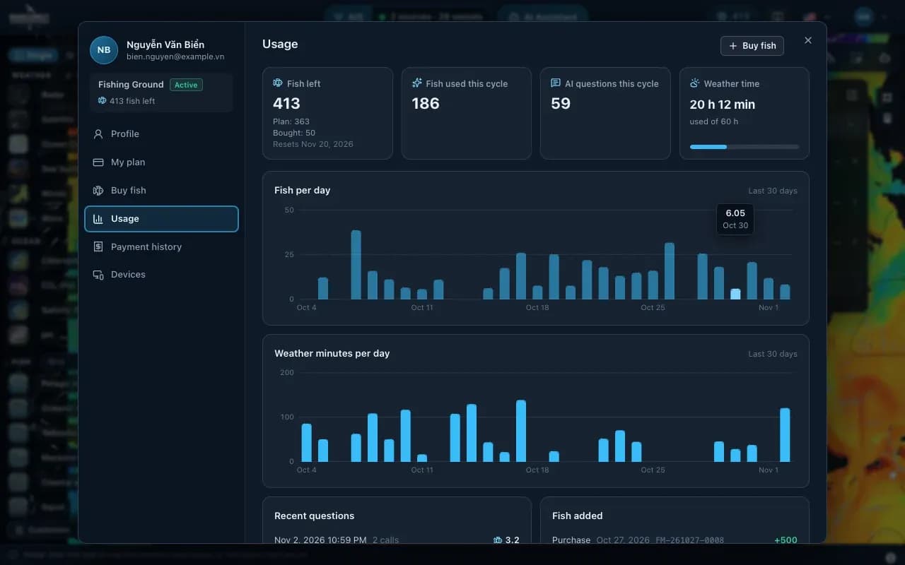
FishMap 0.4.2: prices in US dollars
Plan and fish-pack prices are now in US dollars. Cards are charged in dollars, and bank-transfer QR in Vietnam pays the equivalent in dong.
 News · Product updates
· 3 min read
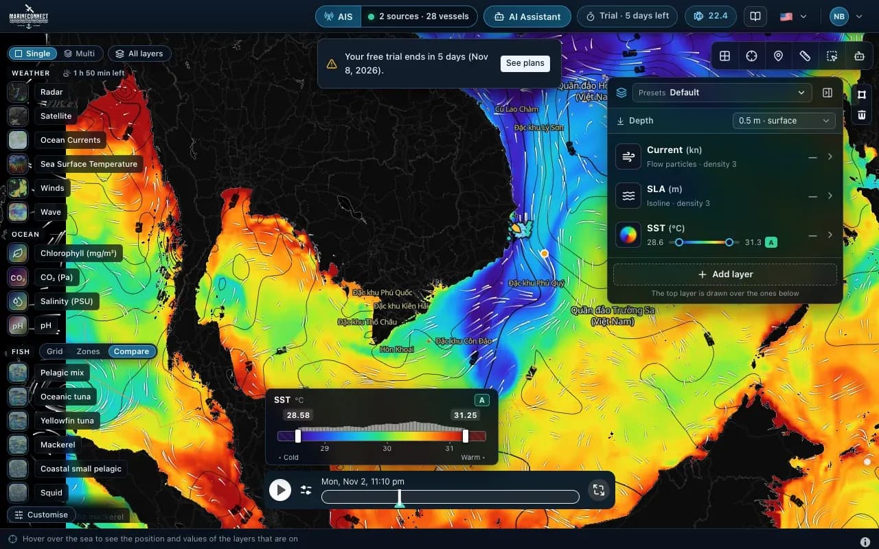
Three plans and a 30-day free trial
Offshore, AI Captain and Fishing Ground: what each plan includes, how fish and weather time work, and how the free trial starts.