Guides · Getting started
Getting started with FishMap
Download the desktop app, sign in and your 30-day free trial starts. Then take a first look at the screen and plan your first trip.
· 3 min read · By FishMap team
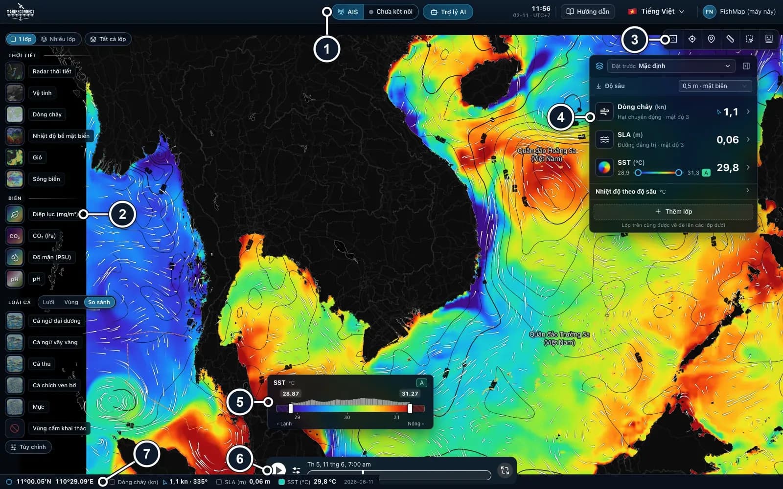
FishMap is a desktop app for offshore fishing in Vietnamese waters, the Gulf of Thailand and the Andaman Sea. It runs on macOS, Windows and Linux, and the map is used inside the app. This guide takes you from the download to your first trip plan. For an overview of everything it does, see Features.
1. Download and install
Open the download page and choose the file for your computer:
- macOS: the version for Apple silicon (M1 and newer), or the universal version for Intel Macs. If macOS blocks the app, follow Installing FishMap on macOS.
- Windows 10 or 11 (64-bit): run the setup file. If SmartScreen shows a warning, choose More info, then Run anyway.
- Linux (Debian 12+, Ubuntu 22.04+): install the .deb package, or make the AppImage executable and run it. The AppImage needs FUSE; without it, add
--appimage-extract-and-run.
The installers are not yet signed with an Apple or Microsoft certificate, so your computer warns you the first time you open FishMap.
2. Sign in: your trial starts
Sign in with your FishMap account. Your 30-day free trial starts at the first sign-in and includes every feature: all ocean layers, fish habitat maps, live weather (5 hours) and 30 fish for the AI Captain. No card is needed. The top bar shows how many trial days are left, and one account works on up to two computers.
3. A first look at the screen
The screen works like a chart plotter: the map in the middle, controls around the edges.
- Top bar: AIS, the AI Assistant (the AI Captain), the ship's clock, the Guide, language and your account.
- Layer rail (left edge): the Weather, Ocean and Fish groups and Fishing closures. At the top, Single shows one layer at a time and Multi lets you stack them.
- Map tools (top right): globe, data inspector, my location, ruler, polygon and fishing zones.
- Ocean panel (right): stack ocean layers and choose how each one is drawn.
- Bottom: the colour legend, the timeline, and a status bar with the position and values under the cursor.
Drag to move the map and scroll to zoom. Press F1 to open the in-app Guide and Ctrl + J (Mac: ⌘ + J) to open the AI Assistant.
4. Plan your first trip
- Check the weather. Turn on Winds and Wave on the layer rail and drag the timeline over the next 1–3 days. Stay clear of wind and waves too much for your boat. On a plan without live weather, use the Waves layer in the Ocean panel.
- Turn on your species in the Fish group, for example yellowfin tuna. The warmer the colour, the better the water suits it. See Reading fish habitat maps.
- Cross-check the ocean. Pick Multi so the fish layer stays on, then choose Presets → Default in the Ocean panel: water temperature, eddies and currents. Look at eddy edges and warm–cold boundaries.
- Measure and save. Use the Ruler for distance and ask the AI Captain to save the spot.
- Take the data with you. While you still have signal, use Download data for the trip so the sea layers stay on screen offshore. See Taking sea data offshore.
Compare two or three days in a row: a good area that keeps coming back is more reliable.
FishMap is a planning aid. It does not replace official charts, navigation equipment, official weather bulletins or the master's judgement. Always check the official forecast before you sail.
More guides
 Guides · Getting started
· 2 min read
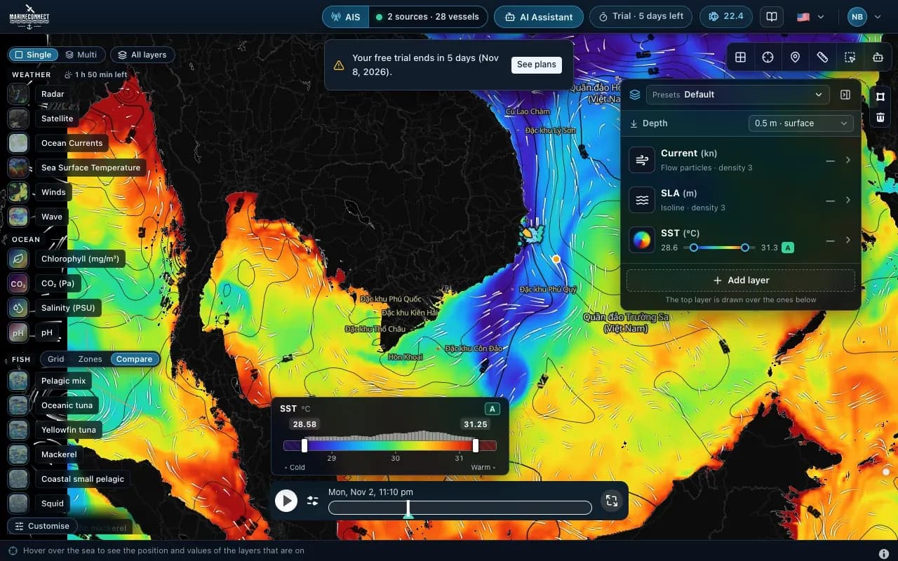
Installing FishMap on macOS
Drag the app into Applications, clear the macOS block with one Terminal command if needed, and answer the Keychain prompt once.
 Guides · AI Captain
· 3 min read
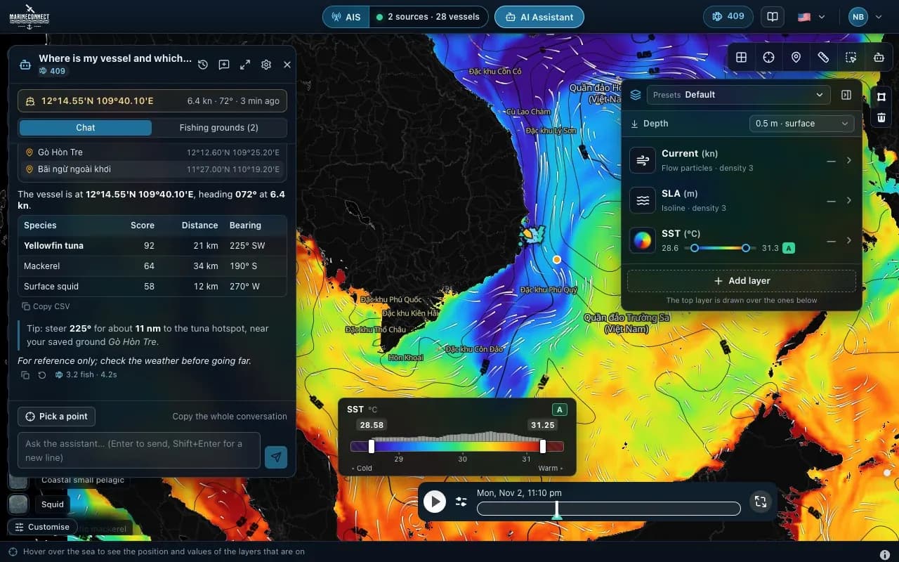
How to ask the AI Captain
How to ask good questions, what an answer costs in fish, how to ask about one exact point, and how to save your fishing grounds.
 Guides · Getting started
· 2 min read
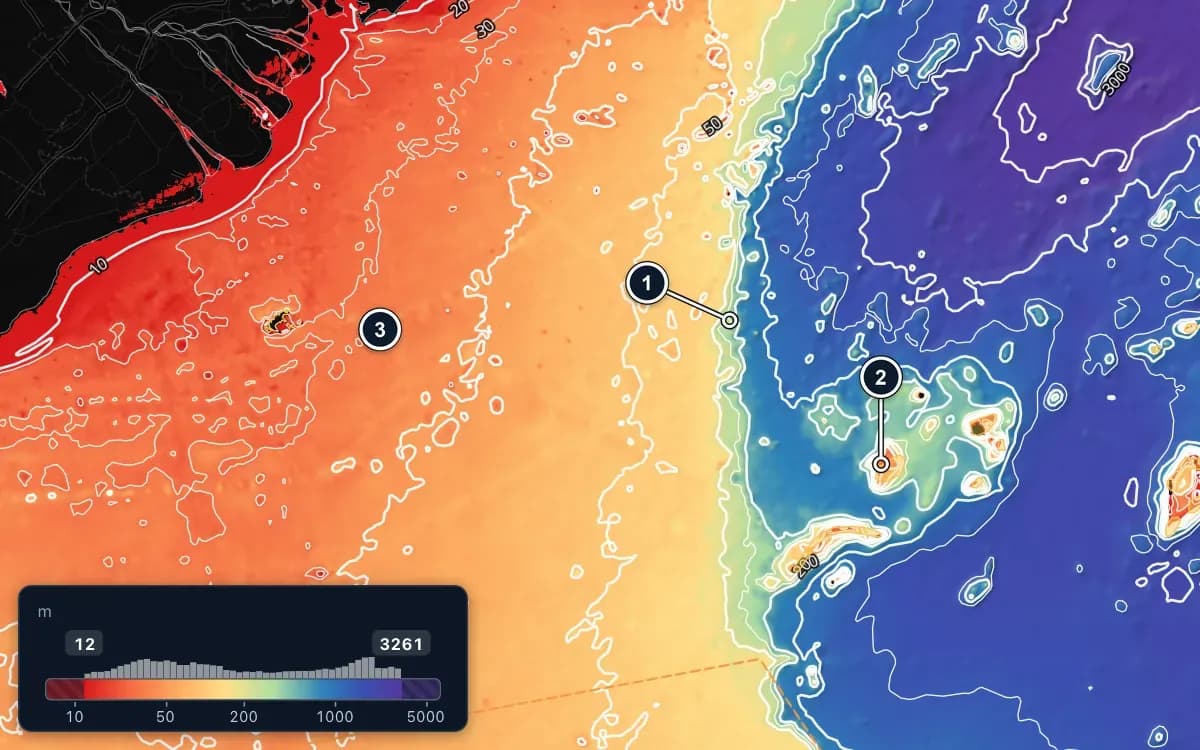
Taking sea data offshore
Save FishMap's sea data on your computer while you still have signal, so the map keeps working when the connection drops offshore.