Guides · Getting started
Installing FishMap on macOS
Drag the app into Applications, clear the macOS block with one Terminal command if needed, and answer the Keychain prompt once.
· 2 min read · By FishMap team
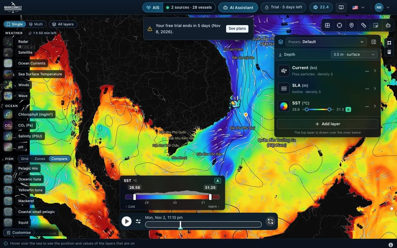
FishMap runs on Macs with Apple silicon (M1 and newer) and on Intel Macs. The app is not yet notarised by Apple, so recent versions of macOS block it the first time you open it. This guide shows the way through, step by step.
Choose the right file
On the download page:
- Apple silicon (M1 and newer): the arm64 DMG.
- Intel Mac, or not sure: the universal DMG. It works on every Mac but is about twice the size.
To see which chip your Mac has, open the Apple menu and choose About This Mac.
1. Copy the app to Applications
- Open the DMG file.
- Drag MarineConnect Fishmap into the Applications folder. If an older version is already there, choose Replace.
- Do not open the app straight from the DMG window. Open it from Applications.
2. If macOS blocks the app
On macOS 15 and later, including macOS 26, the first launch is often refused. You may see "can't be opened" or "Not Opened", or macOS may offer to move the app to the Trash. Do not move it. Instead:
- Open Terminal (in Applications → Utilities, or search for it with Spotlight).
- Paste this command and press Enter:
xattr -cr "/Applications/MarineConnect Fishmap.app" - Open FishMap again from Applications.
If it is still blocked, run this command as well, then open the app again: codesign --force --deep --sign - "/Applications/MarineConnect Fishmap.app"
The first command clears the "downloaded from the internet" mark that macOS puts on the app. The second gives the app a local signature on your own Mac. Neither command changes your Mac's security settings. Copy them exactly, including the quotation marks, because the app name contains a space, and only use them for the FishMap app you downloaded from the FishMap website.
3. Allow Keychain access
If you signed in with an earlier version on this Mac, macOS asks whether FishMap may use the sign-in details saved in your Keychain. While macOS waits for your answer, FishMap only shows a spinner with a reminder. The dialog can be hidden behind the app window or on another screen. Enter your Mac password and choose Always Allow. If you choose Deny, simply sign in to FishMap again.
4. Sign in
Sign in with your FishMap account. On a new account, the 30-day free trial starts at this first sign-in. Getting started with FishMap shows what to do next.
Updating to a new version
Download the new DMG, drag the app into Applications again and choose Replace. A new download carries the "downloaded from the internet" mark again, so if macOS blocks the new version, run the xattr command once more. Always install the latest version: older versions are no longer offered.
Still stuck? Send us a message through the contact page with your macOS version and what you see on screen.
More guides
 Guides · Getting started
· 3 min read
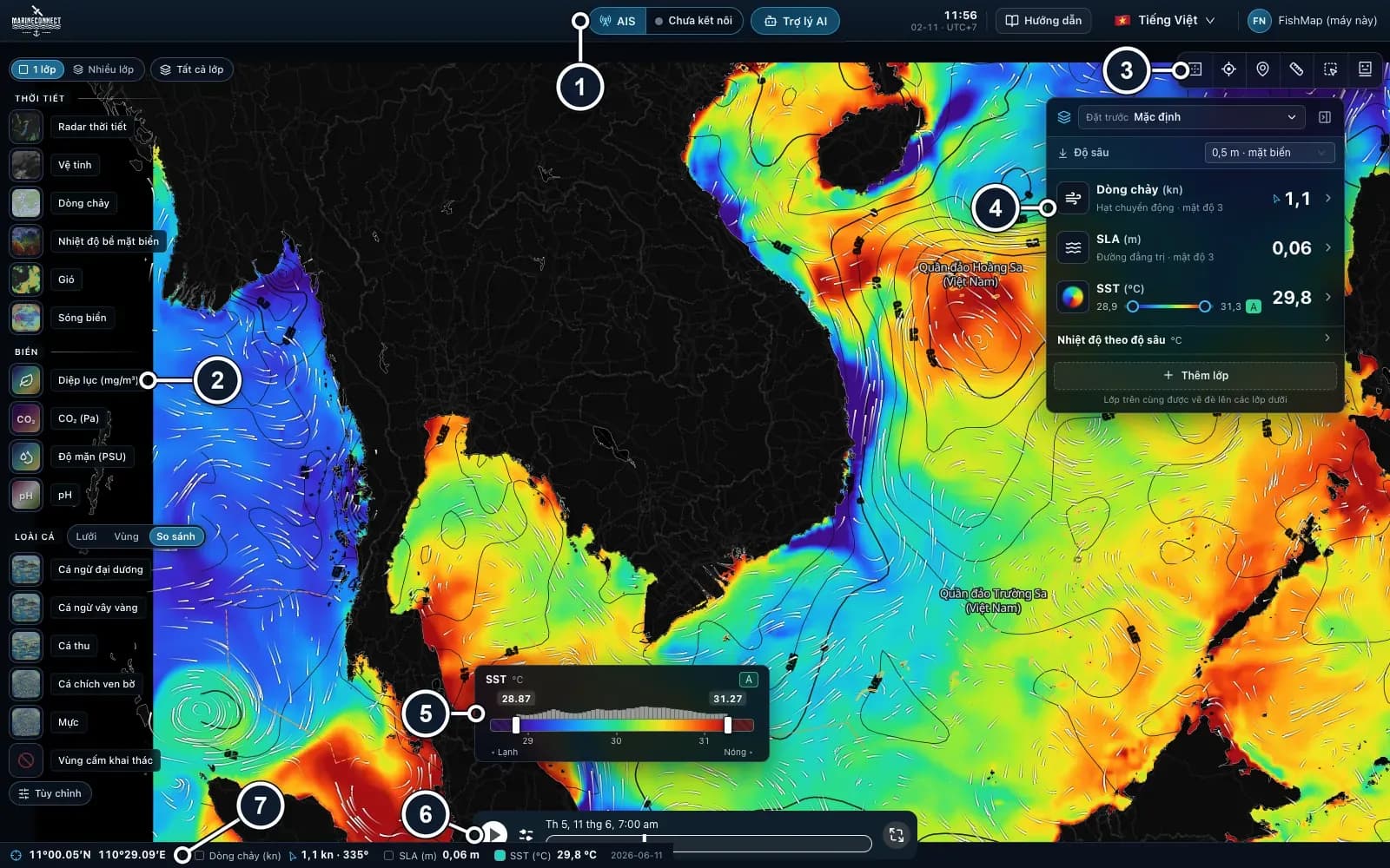
Getting started with FishMap
Download the desktop app, sign in and your 30-day free trial starts. Then take a first look at the screen and plan your first trip.
 Guides · AI Captain
· 3 min read
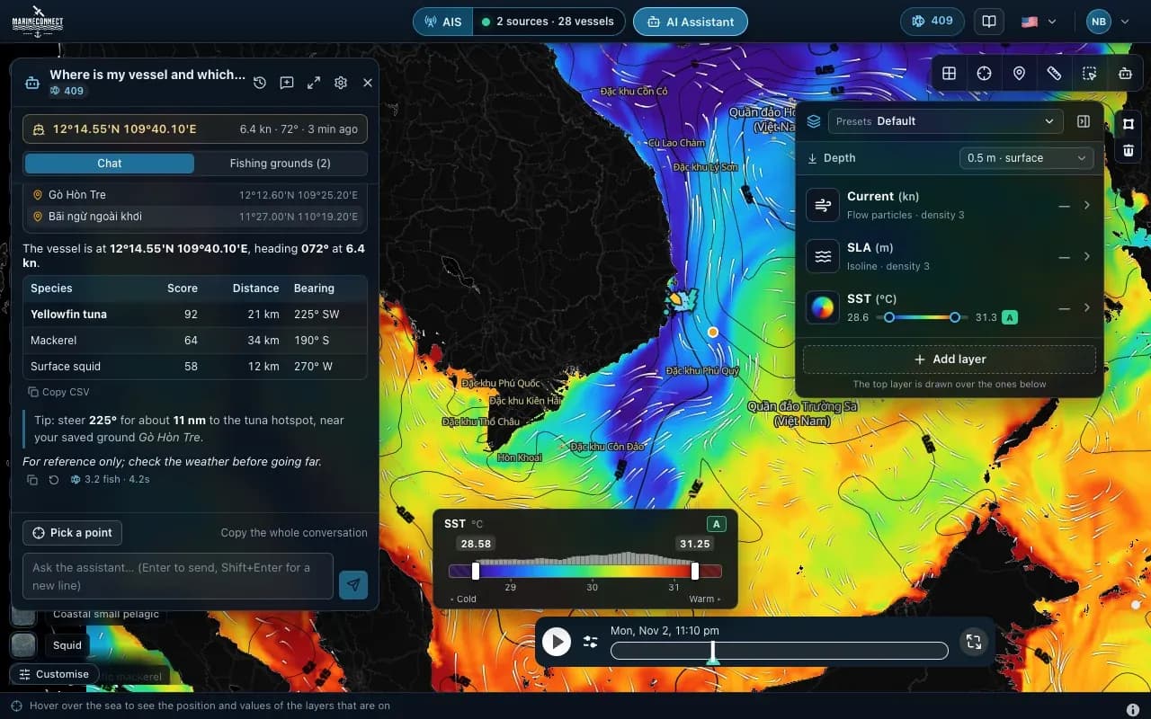
How to ask the AI Captain
How to ask good questions, what an answer costs in fish, how to ask about one exact point, and how to save your fishing grounds.
 Guides · Getting started
· 2 min read
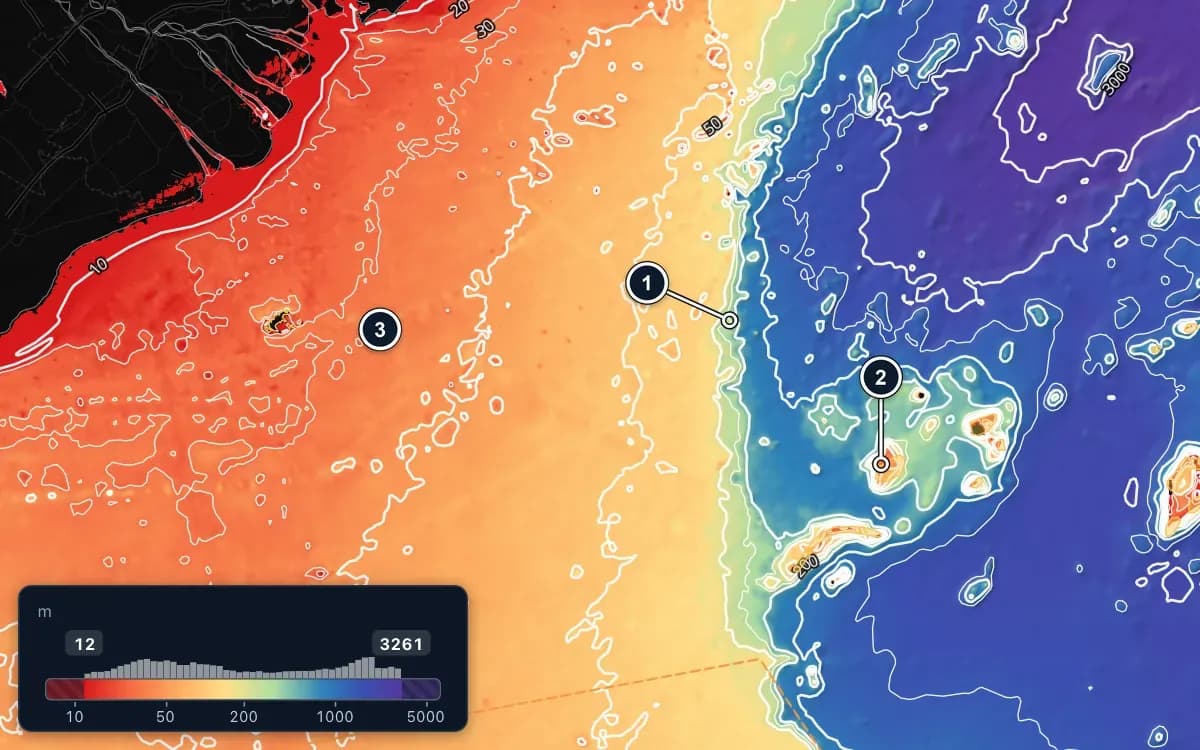
Taking sea data offshore
Save FishMap's sea data on your computer while you still have signal, so the map keeps working when the connection drops offshore.