Guides · AI Captain
How to ask the AI Captain
How to ask good questions, what an answer costs in fish, how to ask about one exact point, and how to save your fishing grounds.
· 3 min read · By FishMap team
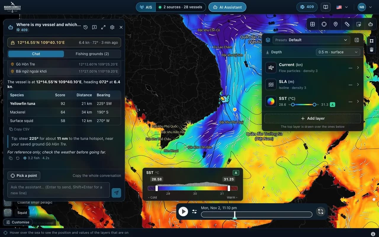
The AI Captain is FishMap's assistant. You ask in plain words and it answers from real data: FishMap's sea and fish habitat data and the AIS on your computer. It does not guess numbers. The AI Captain is included in the AI Captain and Fishing Ground plans and in the free trial.
Opening it
Click AI Assistant in the top bar, or press Ctrl + J (Mac: ⌘ + J). You need to be signed in and online.
Asking good questions
Ask one clear thing at a time, and say where and which species. Some questions that work well:
- "Where is my vessel and which way is it heading?"
- "Which species have suitable habitat around my vessel?"
- "Is there good water for tuna near the boat?"
- "Which saved fishing ground is closest?"
- "Any vessels within 10 nautical miles?"
- "Compare my saved grounds in a chart."
The AI Captain can draw charts, tables and small maps; Show on map puts them on the main map. It answers about fishing, the sea, marine weather, fishing rules and using FishMap, and it warns you when a point you ask about is inside an active fishing closure. On the AI Captain plan it can still use FishMap's sea and fish habitat data in its answers, even where those map layers belong to the Fishing Ground plan.
Asking about one exact point or area
Click Pick a point, then click the map: your next question is about that exact point. To ask about an area, draw it with the Polygon tool or choose a saved fishing zone. The zone is sent with your question, for example "Analyse this zone: suitable species, sea conditions, closures".
What an answer costs
Answers are paid in fish. As a guide:
- a quick question: about 1–2 fish
- a data lookup: 2–3 fish
- an area and species question: 3–4 fish
- a deep zone analysis: 7–8 fish
The fish used appear under each answer, and your balance is in the top bar. Your plan includes fish every 30 days: 300 on AI Captain, 770 on Fishing Ground and 30 during the free trial. Plan fish renew every 30 days and do not carry over. If you run low, buy a pack: 100 fish for $2.50, 500 for $12.50 or 1,000 for $25. Purchased fish are used after your plan's fish and stay valid for 12 months. See plans and prices.
Saving your fishing grounds
Say "Save my current position as a fishing ground", or open the Fishing grounds tab in the assistant panel and choose Save vessel position, Save picked point or Save map centre. Add a name, species, depth, stars and a note. The list is sorted by distance from your boat, with nautical miles and the course to steer, and the spots show as orange dots on the map. The log is kept on your computer only. Earlier conversations are under Chat history (the clock icon).
The AI Captain's answers are for reference. Check them against the map, official weather bulletins and notices to mariners, and your own judgement before you act on them.
More guides
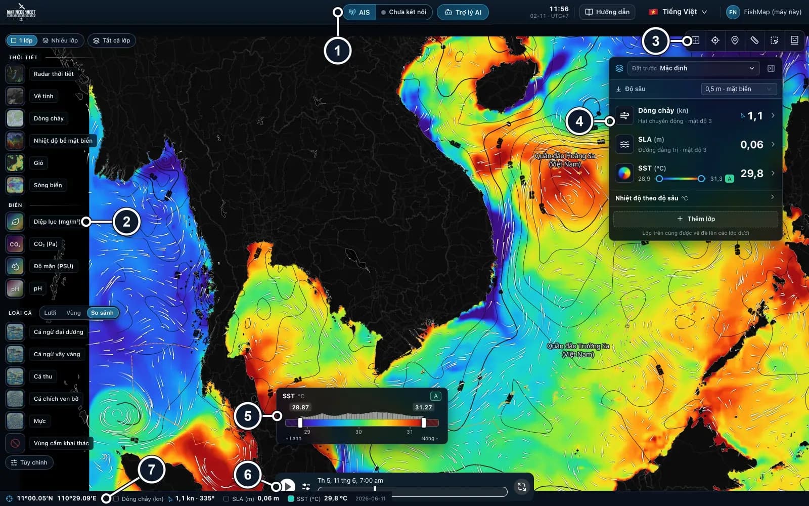 Guides · Getting started
· 3 min read
Getting started with FishMap
Download the desktop app, sign in and your 30-day free trial starts. Then take a first look at the screen and plan your first trip.
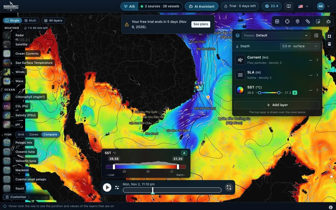 Guides · Getting started
· 2 min read
Installing FishMap on macOS
Drag the app into Applications, clear the macOS block with one Terminal command if needed, and answer the Keychain prompt once.
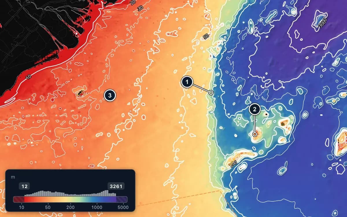 Guides · Getting started
· 2 min read
Taking sea data offshore
Save FishMap's sea data on your computer while you still have signal, so the map keeps working when the connection drops offshore.