Guides · Getting started
Taking sea data offshore
Save FishMap's sea data on your computer while you still have signal, so the map keeps working when the connection drops offshore.
· 2 min read · By FishMap team
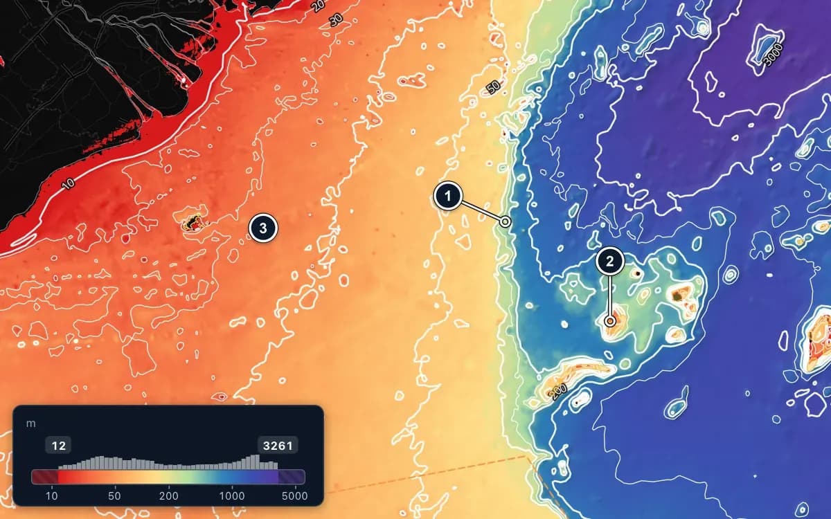
Offshore, the connection comes and goes, and often there is none at all. FishMap is built for this. The base map is part of the app, and Download data for the trip saves the sea data you need on your computer before you leave port.
What works without a connection
- The base map: coastlines, islands and place names are built into the app.
- Ocean layers you downloaded, with values when you hover over the sea.
- The layer rail and the Ocean panel, to switch layers and change how they are drawn.
- AIS from your own receiver: your vessel, other vessels and tracks.
- Your fishing-spot book, which is kept on your computer.
Live weather layers and the AI Captain need a connection. Your plan details are saved as well: if the app cannot reach the FishMap server, it keeps using them for up to 7 days.
Before you leave port
- Connect to Wi-Fi or 4G while you are still in port.
- In the Ocean panel, turn on the layers you want at sea, for example currents, water temperature and waves.
- Click Download data for the trip at the top of the Ocean panel.
- Choose the Area (the area on screen or the whole sea area) and the number of Days.
- Click Download. The dialog shows the estimated size and the progress. If some parts fail, try again on a better connection.
Only the layers that are on, and that are in your plan, are downloaded. Currents, water temperature, salinity, sea surface height and waves have forecasts for the next 7 days, so you can take the coming days with you. At sea, a day you did not download shows the closest day you did.
Keep it up to date automatically
Download automatically when online is on by default; leave it on. Whenever your computer has a connection, FishMap fetches the layers that are on around your boat, or around your last trip area, for today and the next two days. Downloaded data is kept for 10 days, and the dialog shows how much space it takes on your computer. Delete downloaded data clears it.
At sea
There is nothing to switch. When the network drops, the map uses the stored data by itself, AIS keeps working from your receiver, and you can keep saving spots in your fishing-spot book. When you are back in signal, FishMap uses fresh data again.
Stored data is only as recent as your last download. Check the date on the timeline before you rely on it, and keep following official weather bulletins by radio while you are offshore.
More guides
 Guides · Getting started
· 3 min read
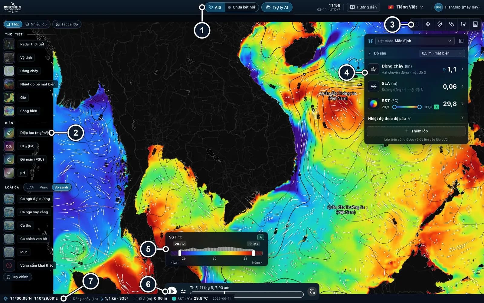
Getting started with FishMap
Download the desktop app, sign in and your 30-day free trial starts. Then take a first look at the screen and plan your first trip.
 Guides · Getting started
· 2 min read
Installing FishMap on macOS
Drag the app into Applications, clear the macOS block with one Terminal command if needed, and answer the Keychain prompt once.
 Guides · AI Captain
· 3 min read
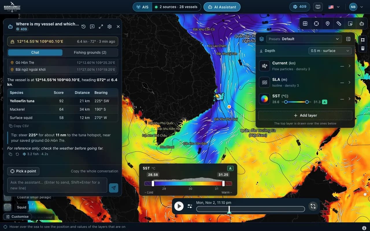
How to ask the AI Captain
How to ask good questions, what an answer costs in fish, how to ask about one exact point, and how to save your fishing grounds.