Guides · Ocean layers
Chlorophyll and salinity: finding productive water
Chlorophyll shows how much food is in the water, and salinity shows where river water spreads out to sea. The edges of both are where to look.
· 2 min read · By FishMap team
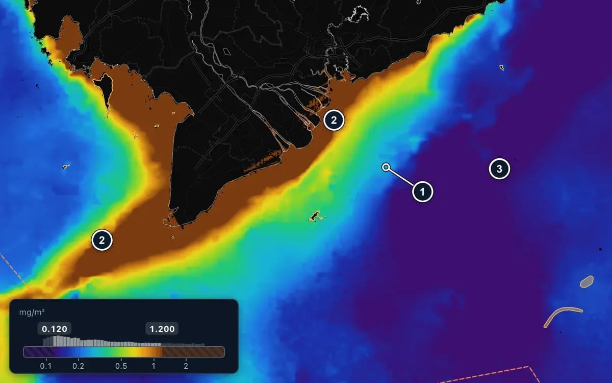
Small fish follow food, and bigger fish follow small fish. Two layers help you find productive water: chlorophyll, which shows how much plankton is in the water, and salinity, which shows where river water spreads out to sea. In both, the edges matter most.
Chlorophyll: how much food is in the water
Chlorophyll is the green colour of tiny drifting plants. More of it means water rich in food for small bait, which draws bigger fish.
- Purple and blue: clear water, poor in food. Offshore it is usually about 0.1 mg/m³ or less.
- Green, yellow and brown: rich water, above 1 mg/m³ along the coast and at river mouths. Currents often carry it along the coast in long bands, for example around the Cà Mau cape.
- The edge of green water next to clear water: the colour changes quickly from green to blue and purple. Large fish wait here.
To make edges stand out, drag the two ends of the colour bar closer together, or use the Chlorophyll edge preset. Small pelagics and Indo-Pacific mackerel need rich water; tuna prefer clearer water, so for tuna look along the clear side of an edge.
Salinity: where river water goes
Salinity is how salty the water is, in PSU: roughly grams of salt in 1 kg of sea water.
- Offshore water is saltier and steadier, about 33–34.5 PSU in the South China Sea.
- River water makes coastal water fresher. Below 32 PSU means fresh water is mixed in, and it is freshest right at the river mouths, especially in the rainy season.
- The edge of river water, where fresher water meets salty water and the colour changes quickly, is rich in nutrients. Small pelagics often gather there.
Show salinity as colour or FootPrint, and add Front to see the edge of river water. It is best checked after temperature and chlorophyll. Offshore fish like steady, salty water, while small pelagics and Indo-Pacific mackerel put up with fresher water.
Putting the edges together
- Start with chlorophyll to find rich water and its edge.
- Add water temperature to see whether the edge lines up with a warm–cold boundary.
- Near the coast, check salinity to see how far river water reaches.
- Switch a few layers to FootPrint with your species' range: where they overlap brightest, the most conditions are met.
Caught fish somewhere good? Right-click that spot and choose Find water like this spot: each layer's colour range is reset from the water around it, so similar water lights up across the map.
Chlorophyll and salinity are among the advanced ocean layers in the Fishing Ground plan and the free trial. Salinity also has forecasts for the next 7 days.
Rich water is a sign, not a promise of fish. Use these layers to decide where to look, and always respect closed areas and fishing seasons.
More guides
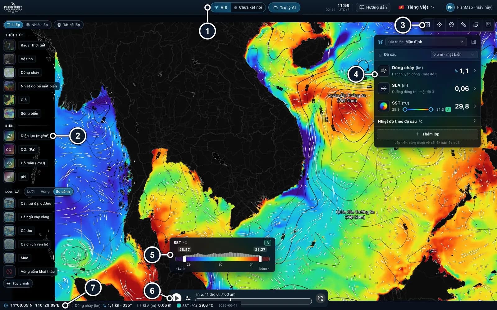 Guides · Getting started
· 3 min read
Getting started with FishMap
Download the desktop app, sign in and your 30-day free trial starts. Then take a first look at the screen and plan your first trip.
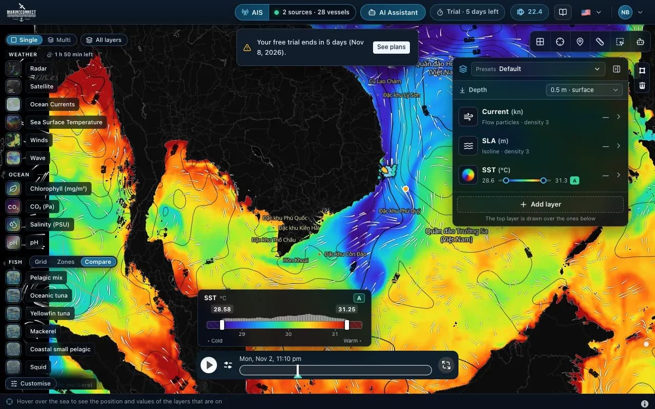 Guides · Getting started
· 2 min read
Installing FishMap on macOS
Drag the app into Applications, clear the macOS block with one Terminal command if needed, and answer the Keychain prompt once.
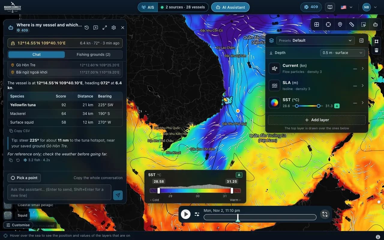 Guides · AI Captain
· 3 min read
How to ask the AI Captain
How to ask good questions, what an answer costs in fish, how to ask about one exact point, and how to save your fishing grounds.