Guides · Fish habitat
Reading fish habitat maps
How FishMap scores the sea for nine species, how to read the Grid, Zones and Compare views, and why you should always cross-check weather and the rules.
· 3 min read · By FishMap team
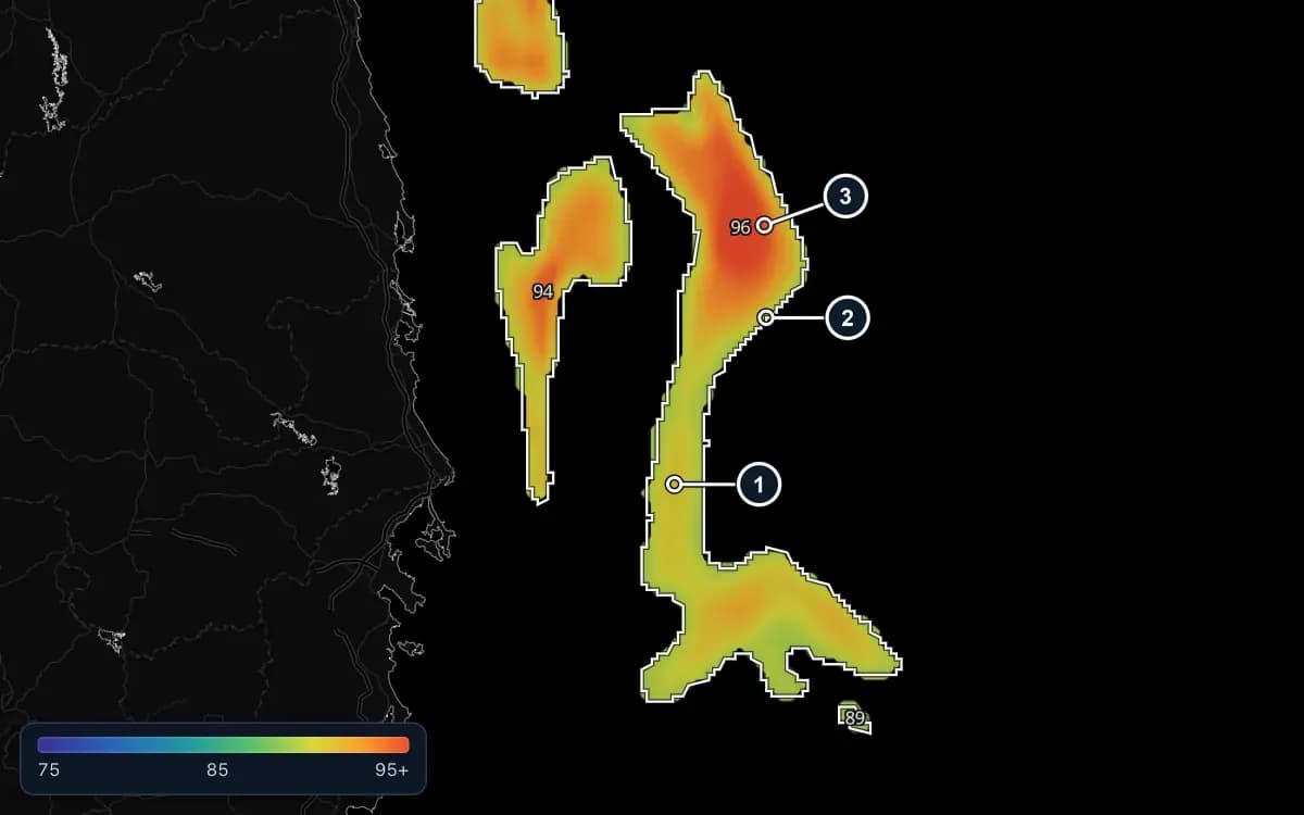
FishMap's fish habitat maps score the sea from 0 to 100 for one species at a time: how well the water suits that species' habits. They cover nine species, among them yellowfin tuna, oceanic tuna, mackerel, Indo-Pacific mackerel, round scad, small pelagics and squid, in Vietnamese waters, the Gulf of Thailand and the Andaman Sea.
What goes into a score
- Water temperature, chlorophyll, depth, salinity and current speed: the closer to the species' preferred range, the higher the score.
- Water edges: chlorophyll edges, eddy edges, current boundaries and seabed slope.
- Eddies: each species prefers warm or cold eddies.
- Moonlight, for squid only: the darker the night, the higher the score.
Depth is a must. Tuna and squid are only scored over deep water, small pelagics and Indo-Pacific mackerel on the shallow shelf. Where a species does not live, the map stays empty, for example tuna or squid in the Gulf of Thailand.
Grid, Zones and Compare
Click a species in the Fish group on the layer rail. Next to the word Fish, choose how it is drawn:
- Grid: each cell coloured by its own score, only in the day's best water.
- Zones: only the good areas, outlined and filled with one colour for the score of the whole zone. A white dashed line surrounds the highest-scoring part.
- Compare (the default): the grid underneath, white zone outlines on top. Zoom in to see each zone's score written inside it.
Colours run from purple and blue (75 and below) through green, yellow and orange to red (95 and above). Even on a day when the sea is good everywhere, the map only outlines the best part, so red is the place to try first. A zone's number is one score for the whole zone; to read a single cell, hover over the grid and look at the bottom bar.
What the numbers mean
- 75 and above: high. Zones are only outlined from here.
- 55–74: moderate.
- 35–54: low.
- Below 35: very low.
The score is how well the environment suits the species. It is not the chance of finding fish, and it is not a catch forecast.
Cross-check before you go
- Weather first. Check wind and waves for the days you plan to fish.
- Look at the ocean. Pick Multi at the top of the layer rail so the fish layer stays on, then add water temperature, the sea level anomaly or chlorophyll. A high score along an eddy edge or a front is more convincing.
- Compare days. An area that keeps scoring well two or three days in a row is more reliable.
- Check the rules. Turn on Fishing closures to see seasonal closures in the Gulf of Thailand, the Andaman Sea and Cambodia; the AI Captain also warns you when a point you ask about is inside an active closure. Always check the official notices of the fisheries authority, and never fish in foreign waters or closed areas.
Fish habitat maps are part of the Fishing Ground plan and the free trial. Compare plans.
Habitat scores are estimates for reference only and do not guarantee catches. The skipper's experience and your own catch log still count most.
More guides
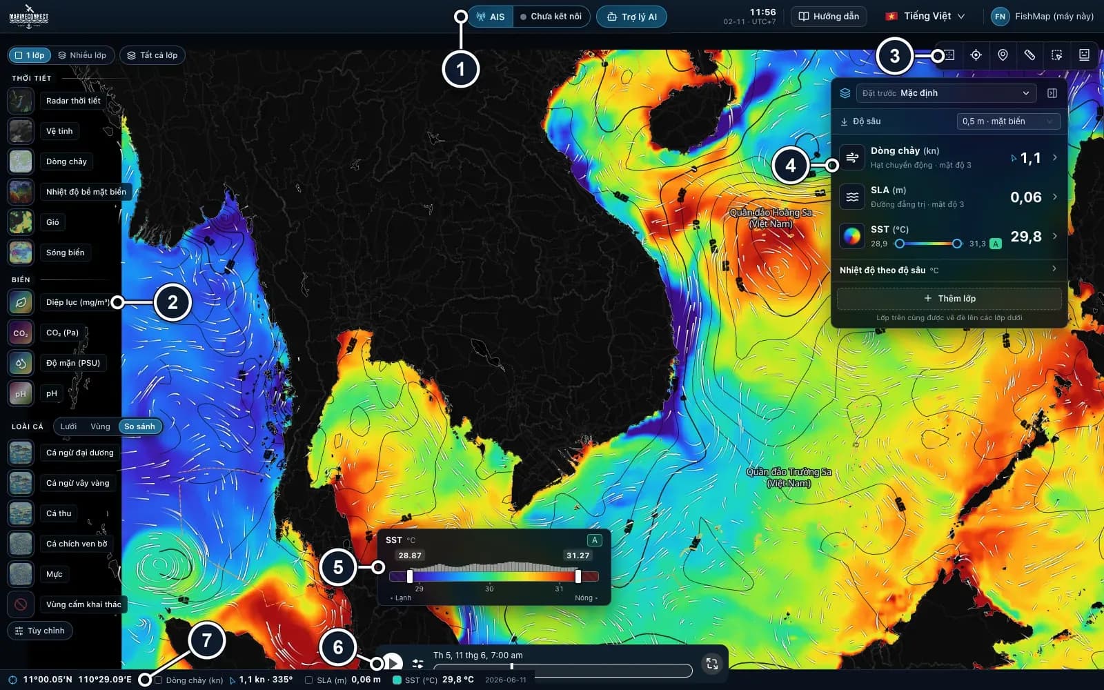 Guides · Getting started
· 3 min read
Getting started with FishMap
Download the desktop app, sign in and your 30-day free trial starts. Then take a first look at the screen and plan your first trip.
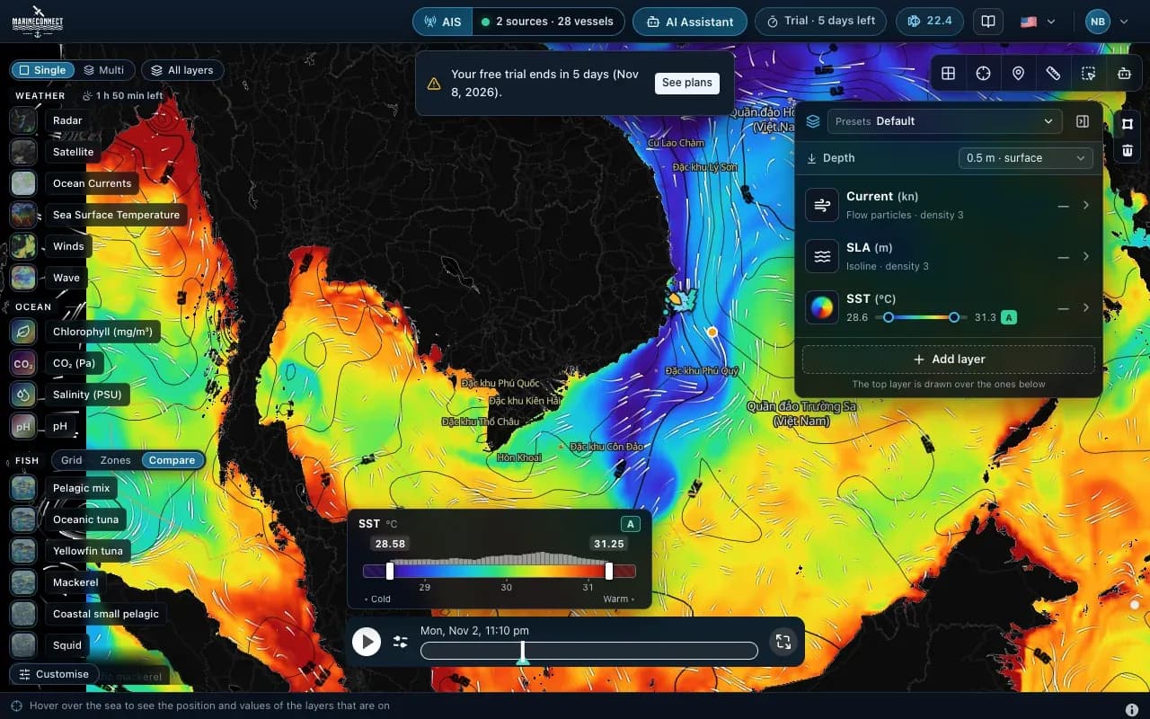 Guides · Getting started
· 2 min read
Installing FishMap on macOS
Drag the app into Applications, clear the macOS block with one Terminal command if needed, and answer the Keychain prompt once.
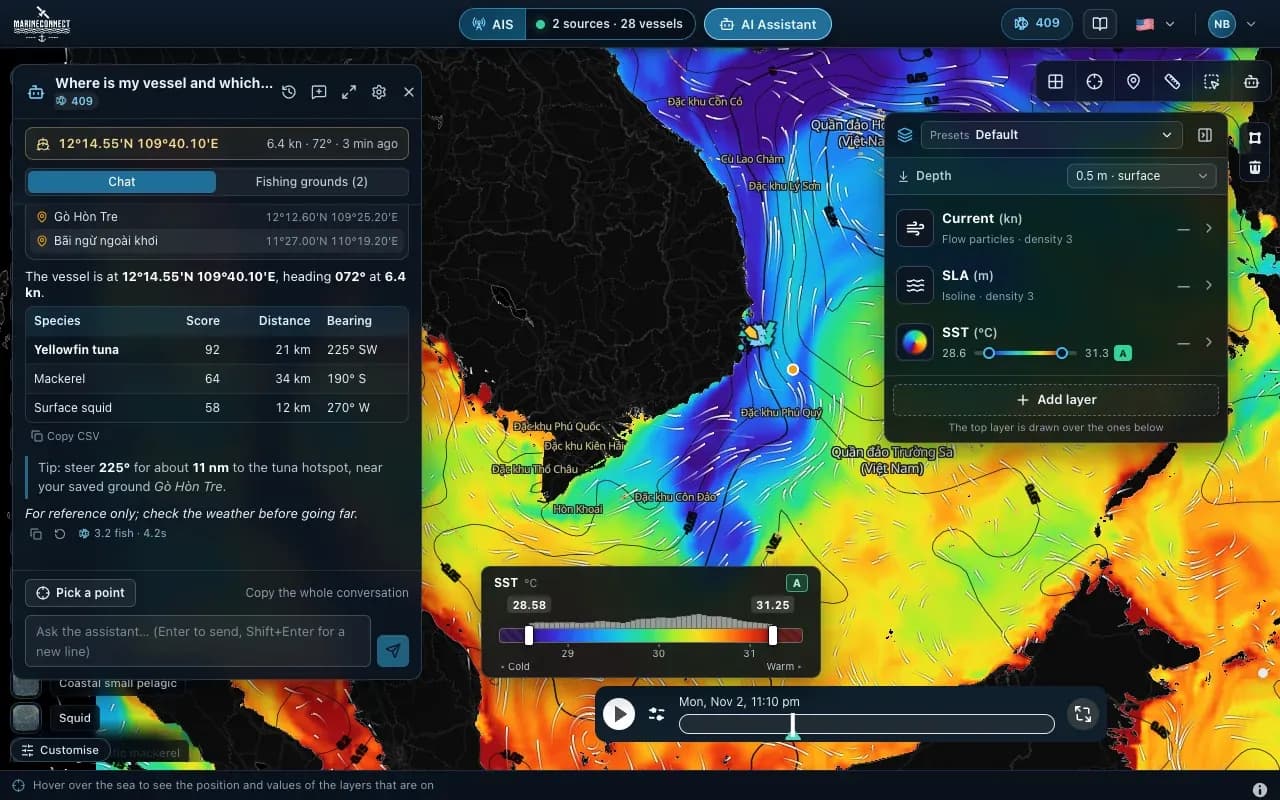 Guides · AI Captain
· 3 min read
How to ask the AI Captain
How to ask good questions, what an answer costs in fish, how to ask about one exact point, and how to save your fishing grounds.