Guides · Ocean layers
Reading currents and eddies
How to read current speed and the drifting particles, why meeting zones matter, and how the sea level anomaly layer shows warm and cold eddies.
· 3 min read · By FishMap team
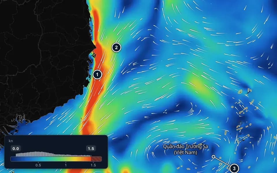
Currents move food, bait and fish, and they decide how your gear sits in the water. FishMap draws currents with colour and moving particles, and shows eddies with the sea level anomaly and sea surface height layers. Here is how to read them together.
Colour and particles
Turn on Currents in the Ocean panel. It is part of the Default preset and included in every plan (see features).
- Colour is the current speed in knots (kn), from slow to fast. Most of the South China Sea runs under 1 knot.
- White particles drift the way the water flows. Long, fast trails mean a strong current.
- Right-click the row and choose Arrow for one arrow per cell. Hover over the sea to read the exact speed in the status bar.
What to look for
- Strong currents along the coast. A red or orange band near the shore is a fast current, and the particles move quickest there. Very strong currents make it hard to set nets and lines.
- Where currents meet. Offshore water flowing in to join a coastal current pushes food together. Meeting zones like this often gather bait and fish.
- Eddies at the edge of a strong current. Particles circling around calm, dark blue water mark an eddy. Fish often follow its edge.
A moderate current gathers bait. Squid prefer calm water, while tuna cope with stronger flow.
Eddies on the sea level anomaly layer
The sea surface is not flat. It bulges where warm water piles up and dips where cold water rises. The Sea level anomaly (SLA) layer compares today's sea surface with its normal level, and it is the easiest way to see eddies: patches of water turning in circles, tens to hundreds of kilometres across.
- Below normal (blue): a cold eddy. Cold, food-rich water rises from below.
- Above normal (red): a warm eddy, over a thick layer of warm water.
- The boundary near zero between a warm and a cold eddy: the contour lines crowd together and the current runs faster. Fish often travel along this band.
The Sea surface height (SSH) layer tells the same story with lines of equal height. Closed rings are eddies: a high centre is a warm eddy, a low centre a cold one. Packed lines mean a strong current around the eddy.
Use them together
The Default preset already draws currents as particles on top, the sea level anomaly as lines and water temperature as colour underneath. Start looking where the particles bend around an eddy edge that also lies on a warm–cold boundary. Tuna prefer warm eddies; small pelagics prefer cold ones.
Eddies drift slowly, so compare two or three days on the timeline: an edge that stays in place is more reliable. Currents and sea surface height also have forecasts for the next 7 days.
Current values are estimates for a small patch of sea, not measurements at your boat. Use them to plan, and always check the official forecast and your own instruments at sea.
More guides
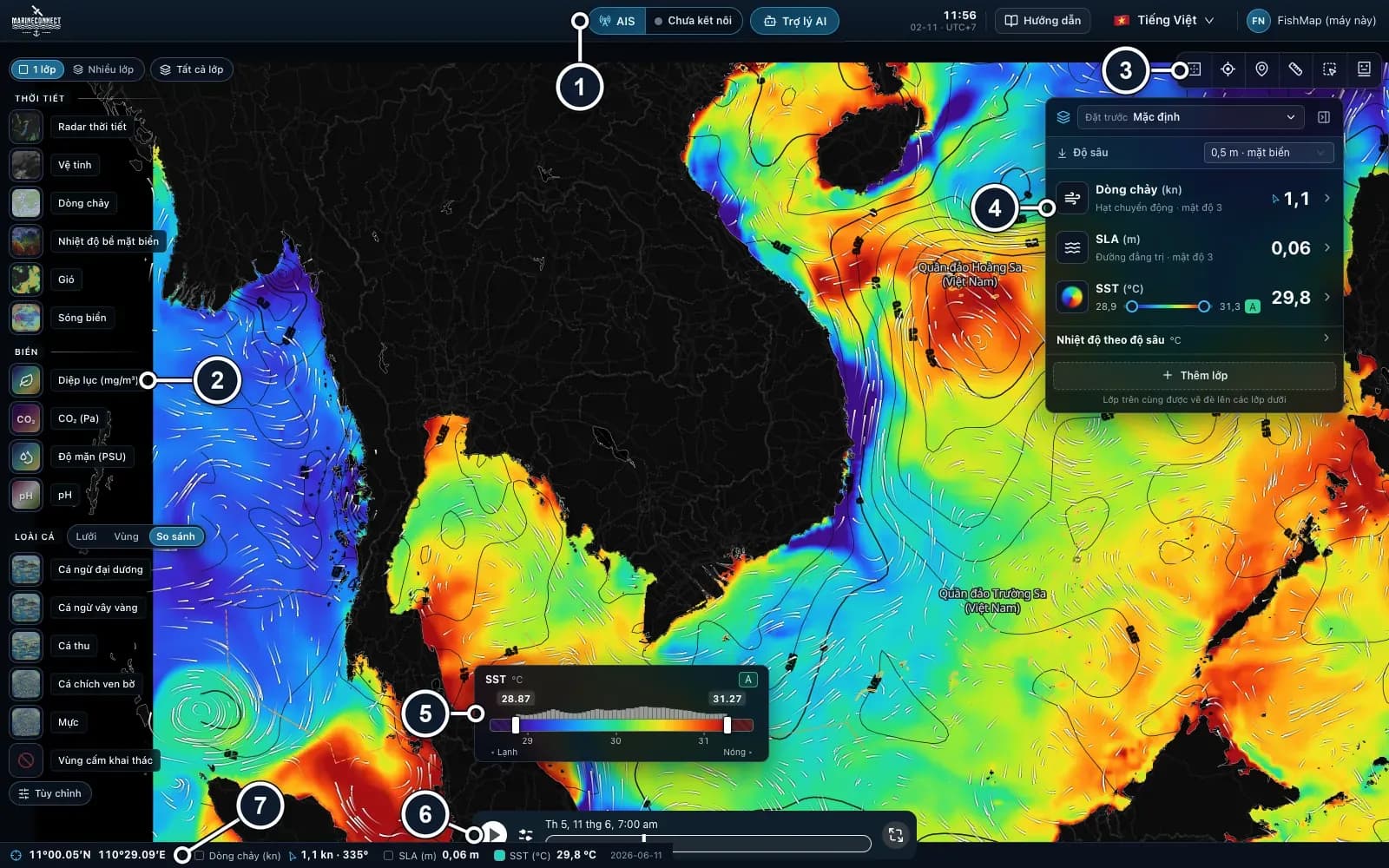 Guides · Getting started
· 3 min read
Getting started with FishMap
Download the desktop app, sign in and your 30-day free trial starts. Then take a first look at the screen and plan your first trip.
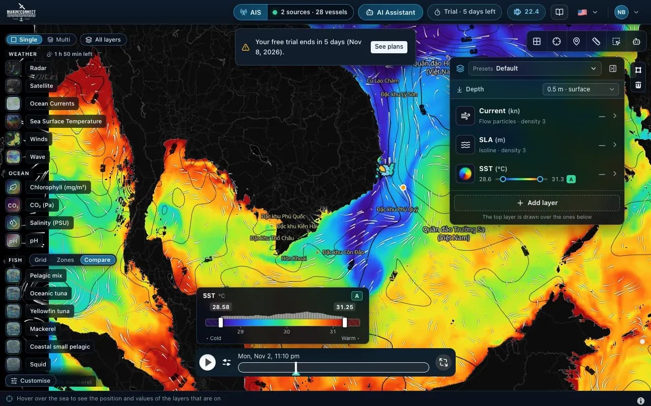 Guides · Getting started
· 2 min read
Installing FishMap on macOS
Drag the app into Applications, clear the macOS block with one Terminal command if needed, and answer the Keychain prompt once.
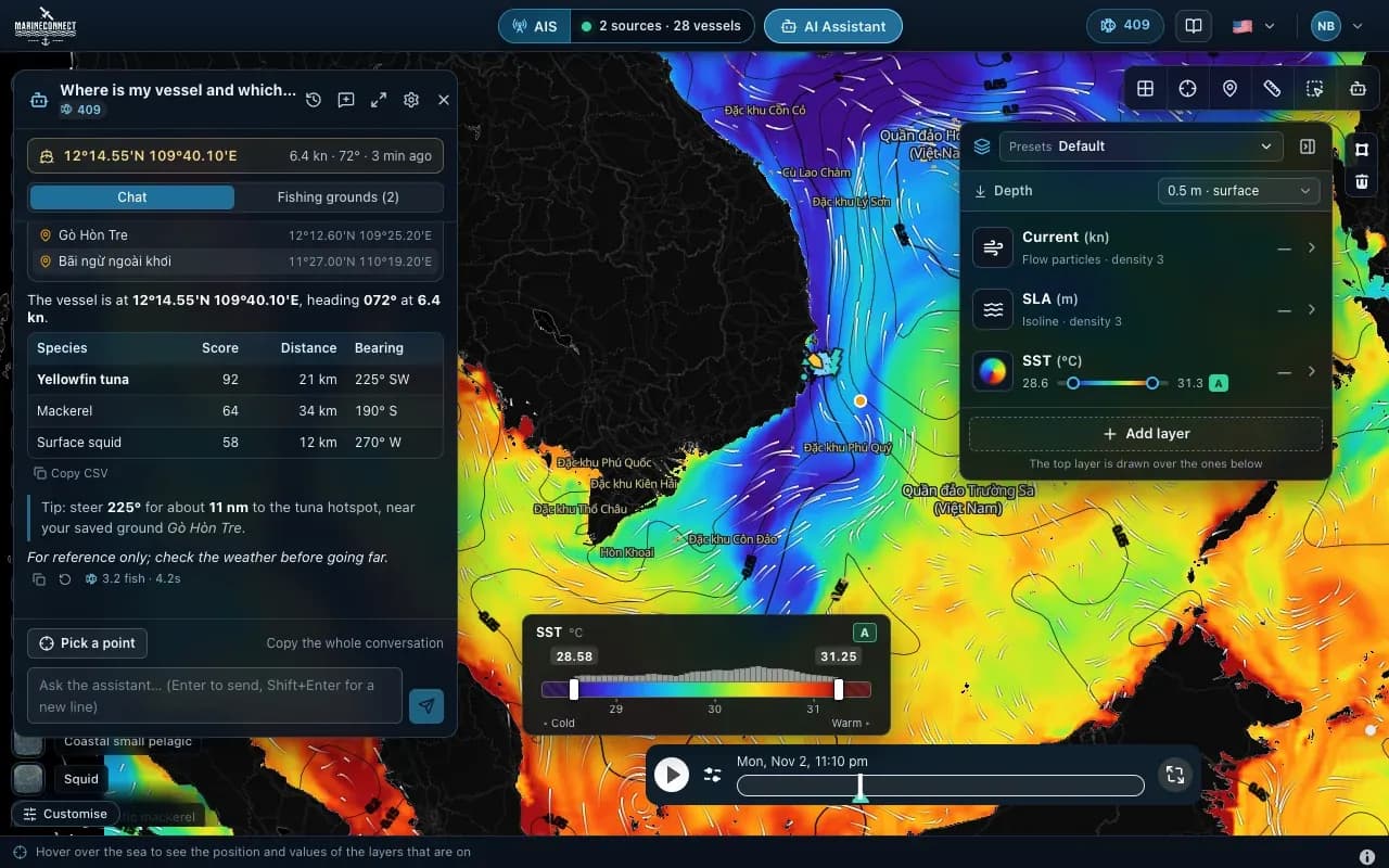 Guides · AI Captain
· 3 min read
How to ask the AI Captain
How to ask good questions, what an answer costs in fish, how to ask about one exact point, and how to save your fishing grounds.